


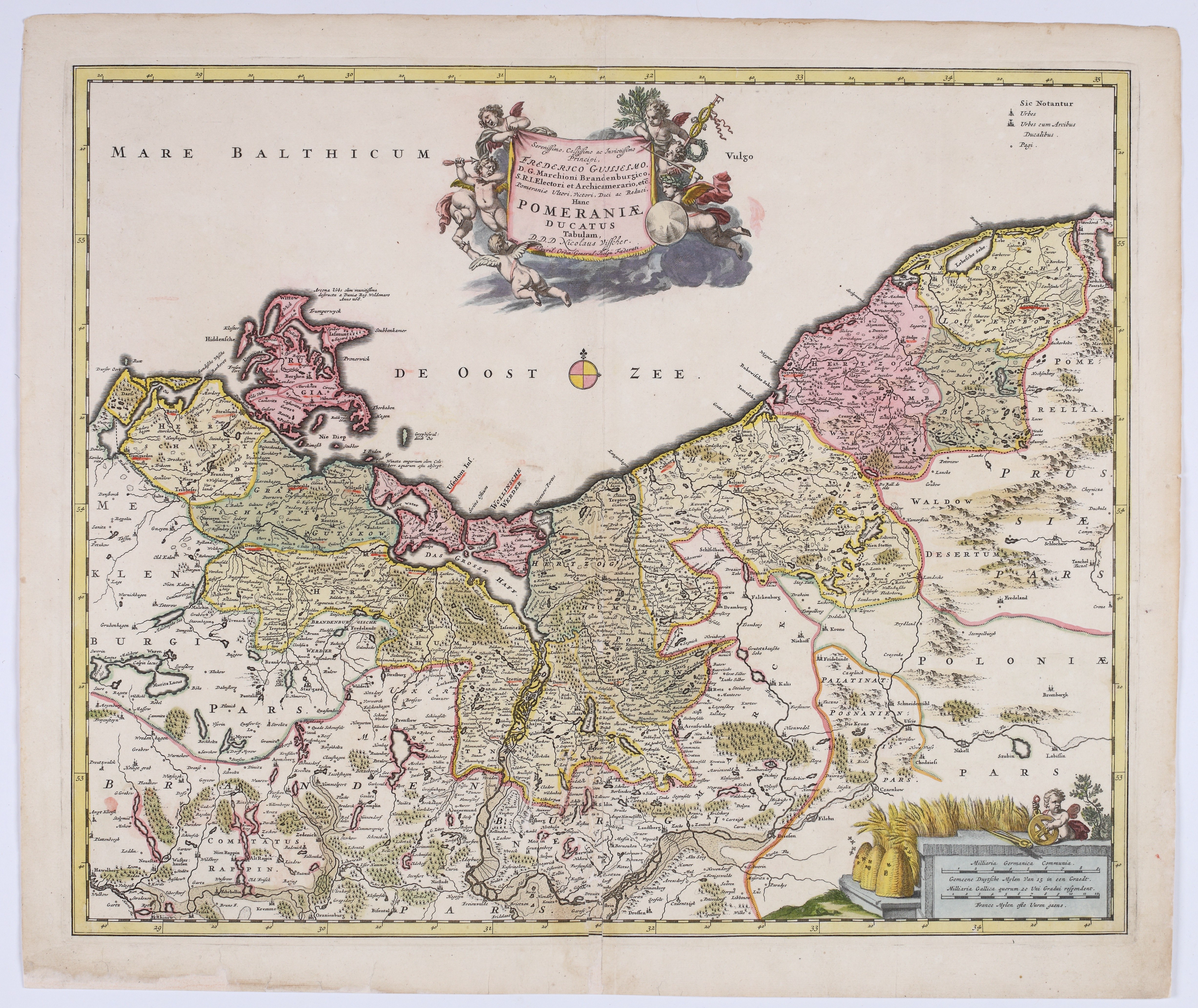
VISSCHER, Nicolaes (1618–1679) — *Pomeraniae Ducatus Tabulam*. Amsterdam: ca. 1670.
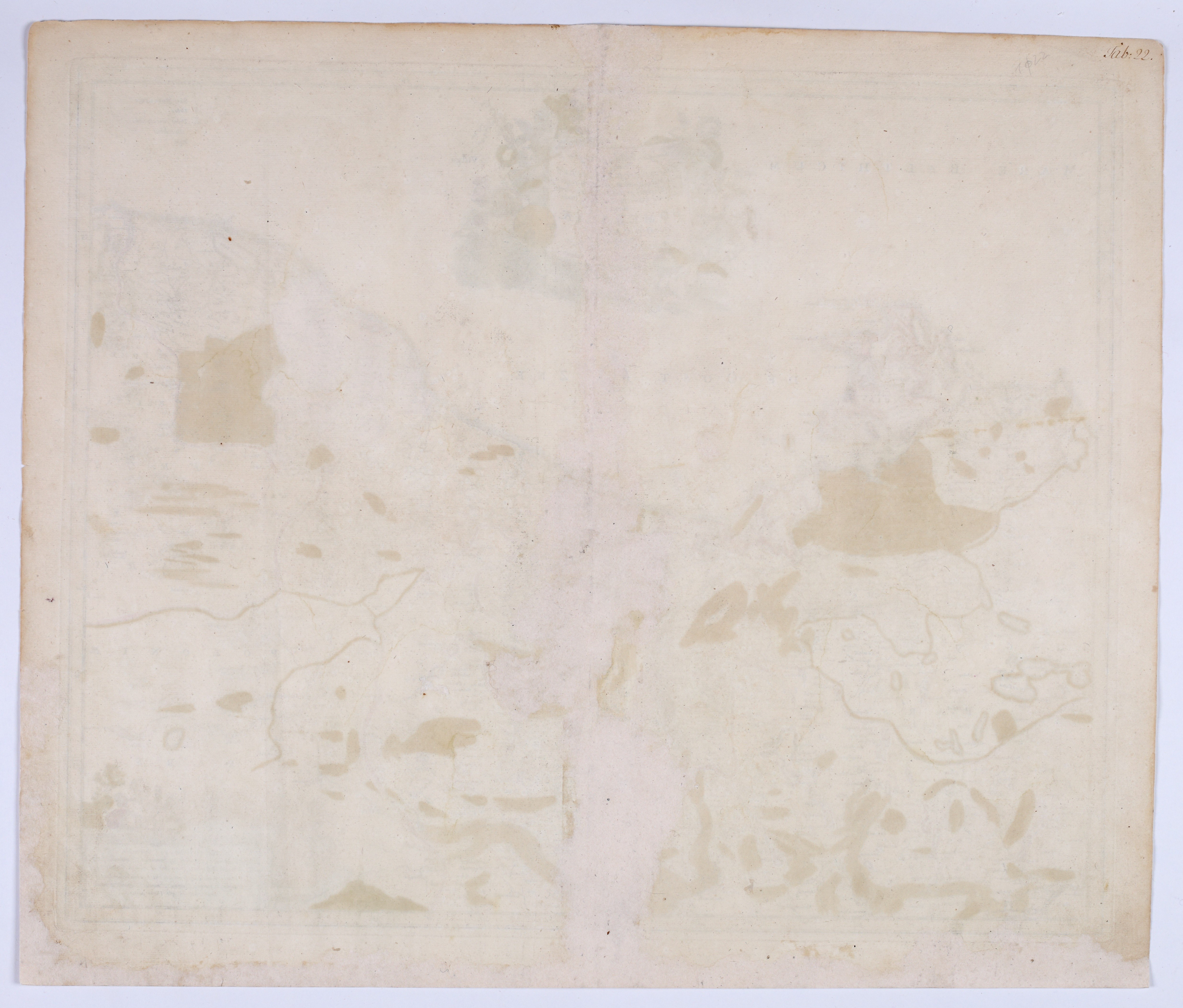
Hand-colored copperplate engraving from the period, on paper, 465 × 565 mm, on a sheet measuring 520 × 615 mm. Verso blank. Slight creases in the paper; on the reverse, several stains and a handwritten number in the upper right corner.
A map of the Duchy of Pomerania by Nicolaes Visscher, dedicated to Frederick William, Elector of Brandenburg. The dedication refers to the political situation following Brandenburg’s recovery of Swedish Pomerania as a result of the Franco-Dutch War.
The map depicts the Baltic coast from the mouth of the Oder River westward, with the Baltic Sea to the north, extending southward through Brandenburg into Polish territories. Rivers, towns, forests, and the boundaries of individual regions are shown in great detail, and the entire map is enhanced by attractive coloring in shades of pink, green, and ochre. In the upper center is a decorative title cartouche surrounded by allegorical putti holding coats of arms, olive branches, and a caduceus. In the lower right corner is an ornate scale cartouche, decorated with sheaves of grain, a putto holding a measuring wheel, and distance markings.
Visscher’s map was based on Eilhard Lubinus’s large map of the Duchy of Pomerania, created in 1618, which ranks among the most important 17th-century cartographic representations of the region. The results of Lubinus’s cartographic work were subsequently utilized by Willem Blaeu, whose reduced version of the map, *Pomeraniae Ducatus Tabula. Auctore Eilhardo Lubino*, was first published in 1630. Visscher’s map continues this tradition, drawing on Blaeu’s map and updating its political content in light of Brandenburg’s renewed consolidation of power over the duchy.
The Visscher publishing house was founded in Amsterdam by Claes Janszoon Visscher (1587–1652), a prominent draftsman, engraver, cartographer, and publisher of the Dutch Golden Age. His workshop was located in the center of Amsterdam, in the vicinity of the workshops of other leading cartographers, including Jodokus Hondius and Pieter van den Keere. After Claes’s death, his son Nicolaes Visscher I (1618–1679) took over the publishing house and, in 1677, received a publishing charter from the States of Holland and West Friesland. The publishing house then passed to his son, Nicolaes Visscher II (1649–1702). The map’s dedication indicates its connection to the publishing house of Nicolaes Visscher I or the early period of his son Nicolaes Visscher II’s operations.
The map is an interesting example of 17th-century cartography of Pomerania, preserving geographical information derived from Lubinus’s map while also reflecting the changing political status of the duchy under Brandenburg rule.










Πρόσφατες επισκοπήσεις
Συνδεθείτε για να δείτε την λίστα θέσεων
Αγαπημένα
Συνδεθείτε για να δείτε την λίστα θέσεων