Poloniae Regnum ut et Magni Ducatus Lithuaniae accuratissima delineatione repraesentata.
[Augsburg], Matthäus Seutter, ca. 1742.
Copperplate on paper, surface colored.
55 × 57 cm.
Large map of the Kingdom of Poland and the Grand Duchy of Lithuania, compiled and published in Augsburg by Matthäus Seutter, one of the most important German cartographers and map publishers of the first half of the 18th century. It depicts the territory of the Polish-Lithuanian Commonwealth as a whole, with rich topographical and administrative content, characteristic of mature Augsburg cartography of the Baroque period.
Surface coloring highlights borders and territorial divisions.
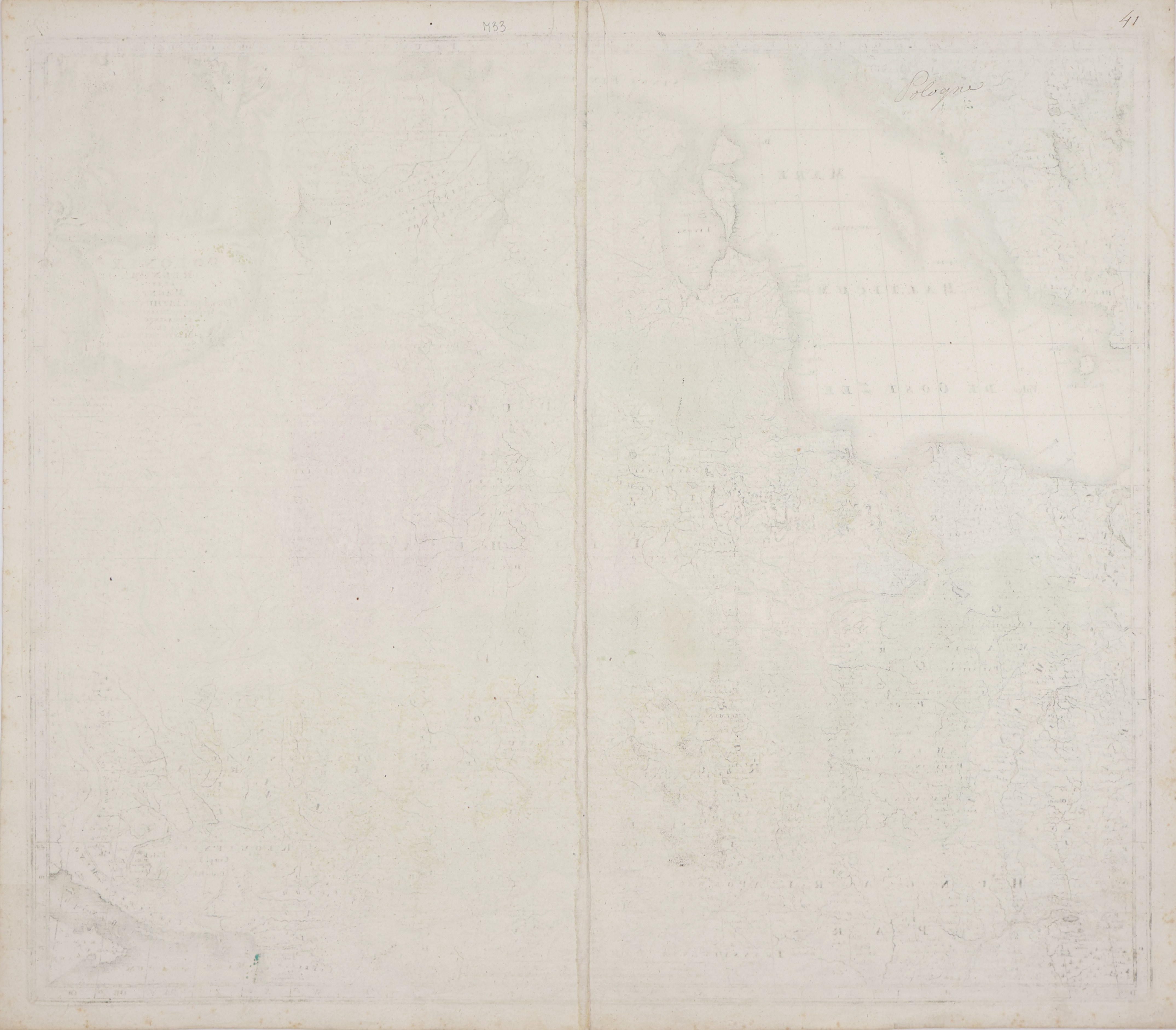
Outside the map area, small brown spots (foxing) are visible. Ink smudges present in places: in the title of the map in three words and in the lower part of the map, within the scale divisions. On the reverse there is a manuscript notation "Pologne" and the number 41 made in pen, of a utilitarian nature. Despite the mentioned defects, the cartographic drawing remains legible. Good state of preservation, with clear but typical signs of use.
A cherished 18th century depiction of the lands of the Commonwealth in German cartography. An attractive and sought-after collector's item, of interest to both collectors of maps of Poland and Lithuania and lovers of Matthäus Seutter's work.