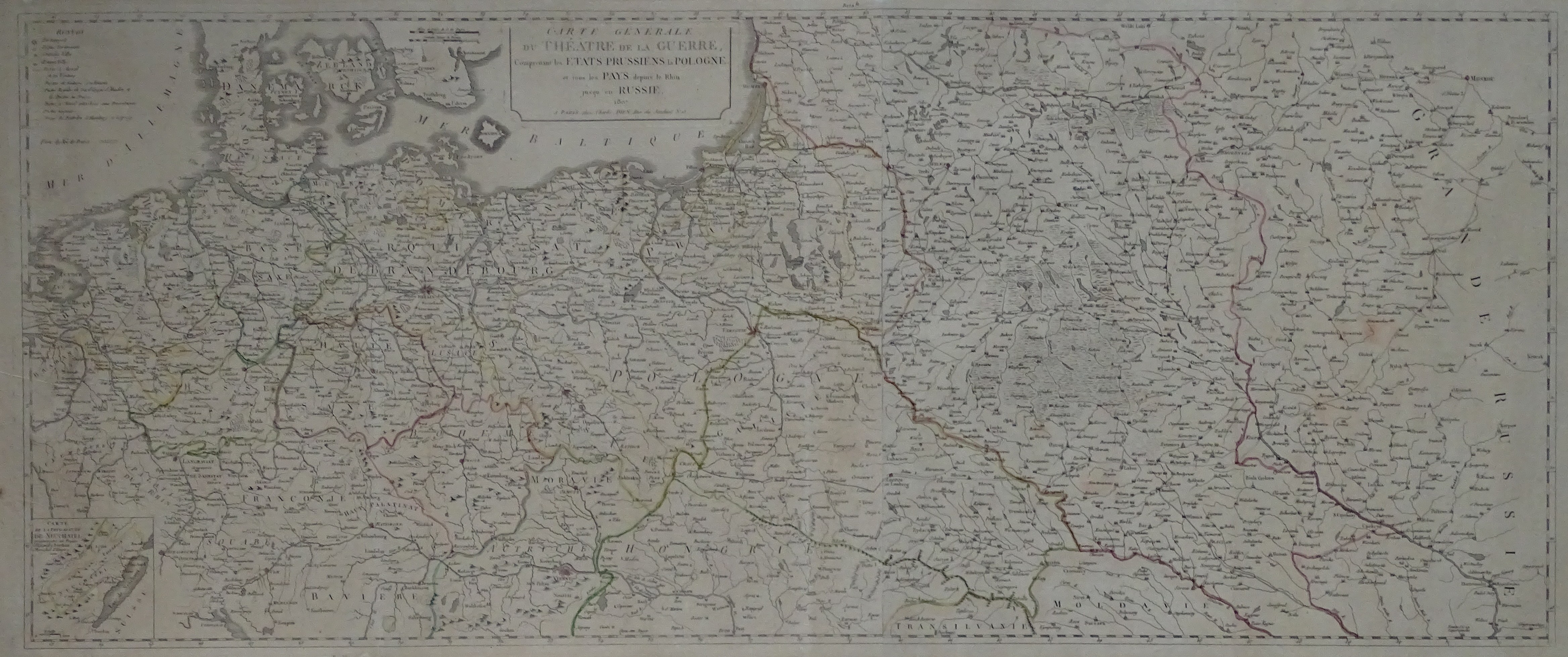
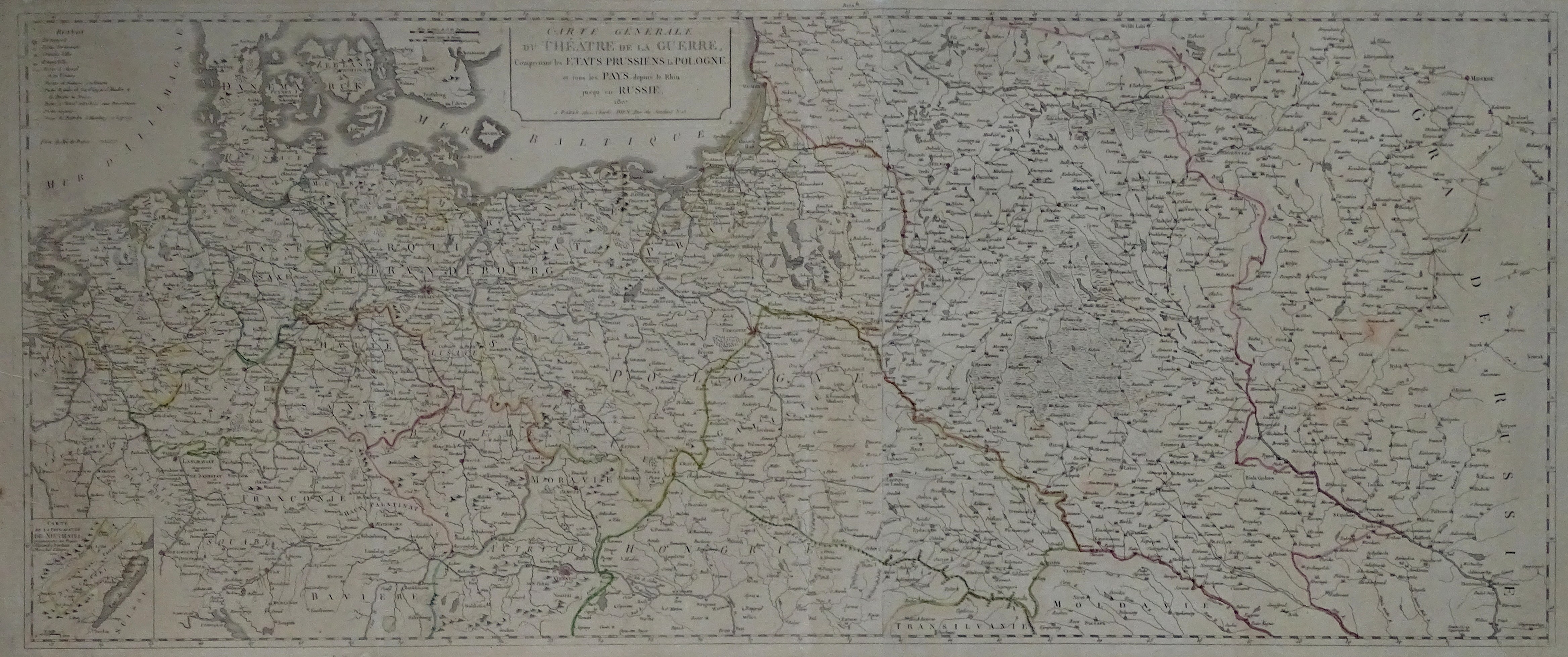
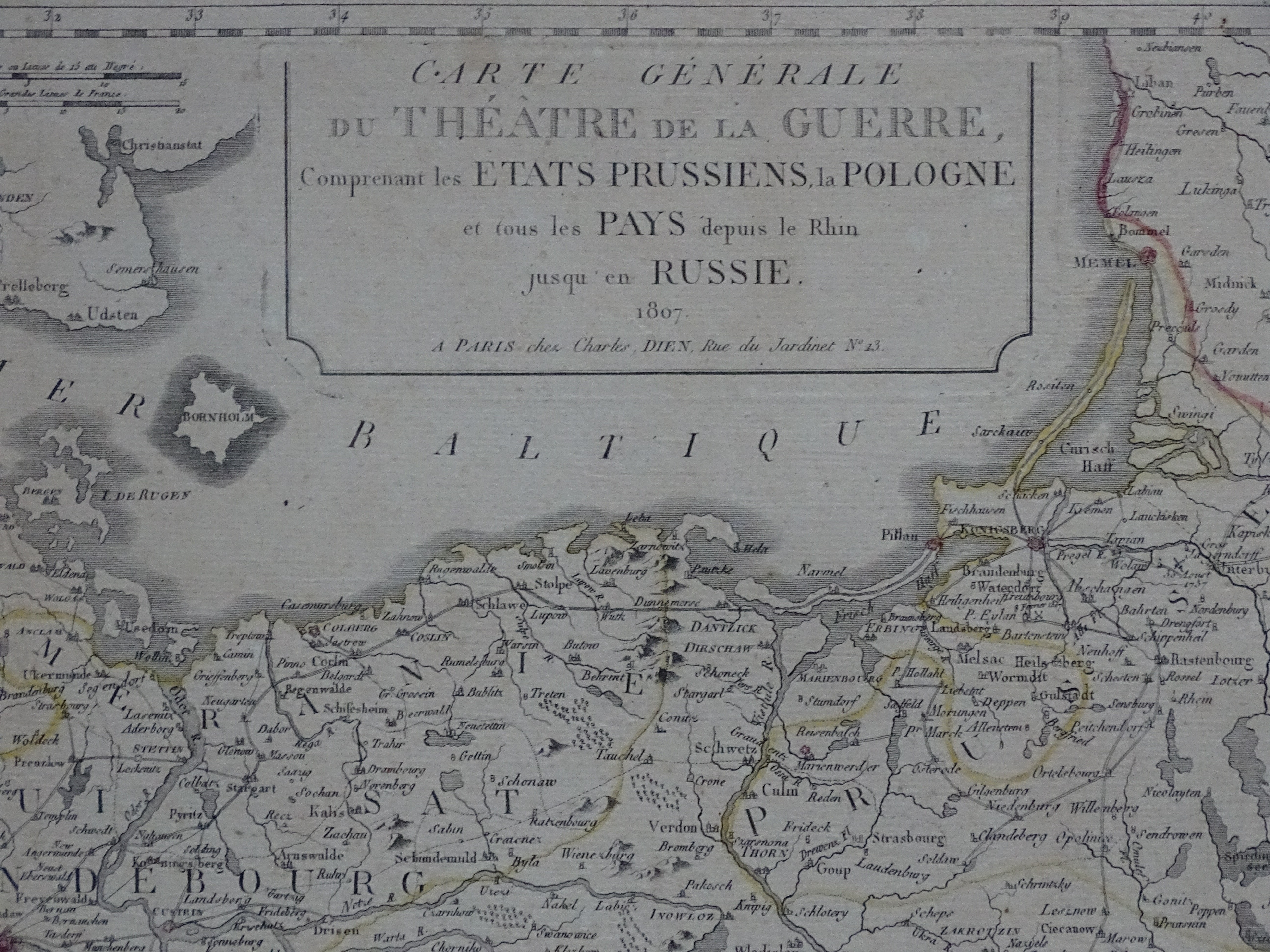
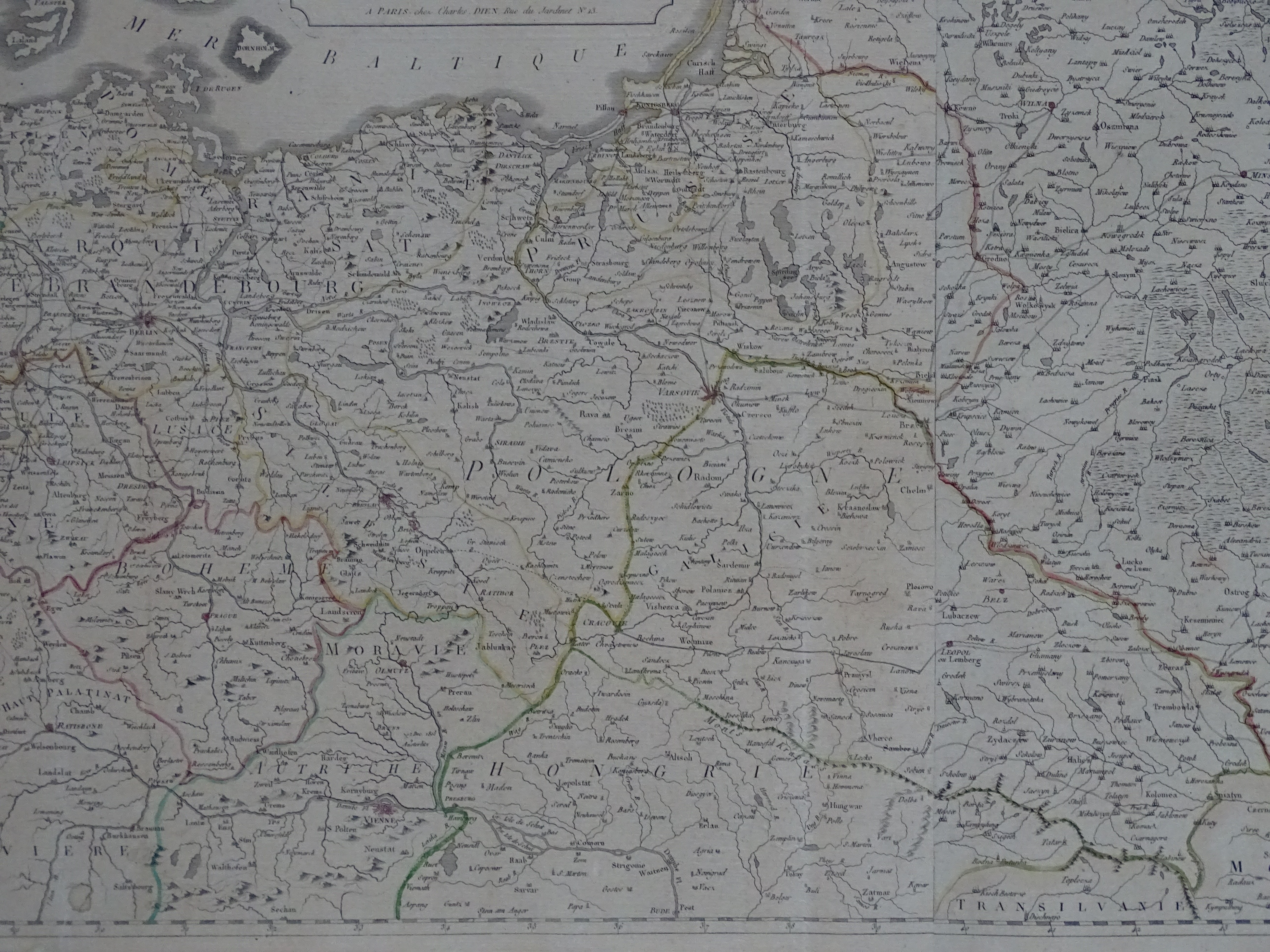
"Napoleonic" map of the lands of the Republic of Poland
"Carte générale du Théâtre de la guerre : comprenant les etats prussiens, la Pologne et tous les pays depuis le Rhin jusqu'en Russie a Paris 1807 chez Charles Dien, Rue de Jardinet No.13."
On the lands of the Republic of Poland, marking the borders as they stood after the Third Partition and the Polish-Russian border before the partition.
sheet approx. 135 by 56.5 cm
paper grayed/browned, tissue paper lining in margins and on verso
additional information / photos - please contact: [email protected] / 605 907 944