


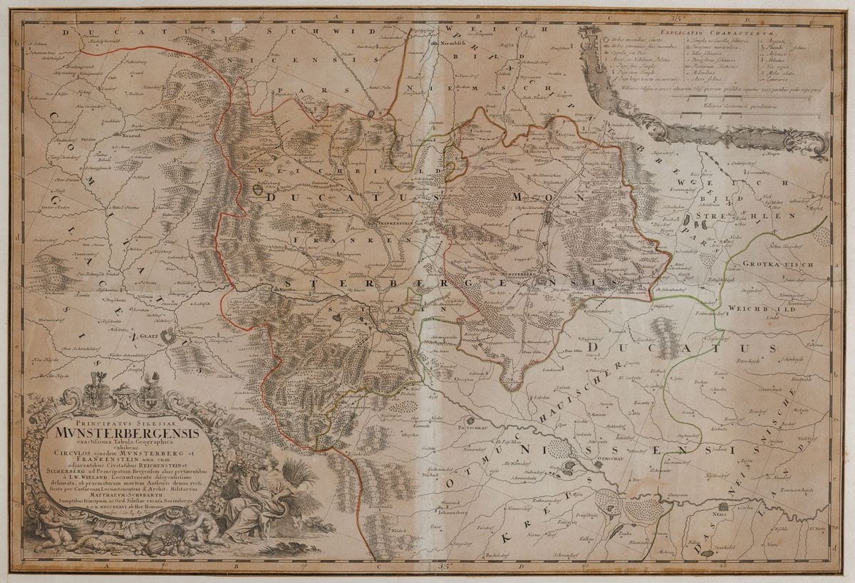
MAP OF THE DUCHY OF ZIĘBICE, 1736
From: Atlas Silesiae, Heirs of Homann, Nuremberg 1752
Copperplate colored engraving, paper, 56 x 82 cm lightly framed
State of preservation: dampstain, discoloration, faded paints.
Principatus Silesiae Munsterbergensis exactissima Tabula Geographica exhibens...", The map comes from the Atlas of Silesia, which was created from the l. 20 of the 18th century.The author of the maps of this period was Johann Wolfgang Wieland (1673-1739) military engineer and cartographer, his work was continued after the mid-1830s by Matthäus Schubarth. The atlas was published in Nuremberg by Homann's heirs.
Asking price 800
Estimate 1800 - 2000 inquire about the object










Πρόσφατες επισκοπήσεις
Συνδεθείτε για να δείτε την λίστα θέσεων
Αγαπημένα
Συνδεθείτε για να δείτε την λίστα θέσεων