


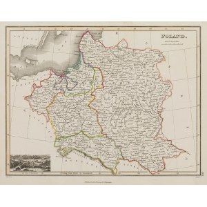
Map of the lands of the Republic of Poland taken from the "General Atlas", published by John Thomson, Edinburgh 1819; in the lower left corner a view of Danzig
copperplate engraving colored linearly in the epoch, size of the map 22,4 x 29,6 cm
very good condition -










Πρόσφατες επισκοπήσεις
Συνδεθείτε για να δείτε την λίστα θέσεων
Αγαπημένα
Συνδεθείτε για να δείτε την λίστα θέσεων